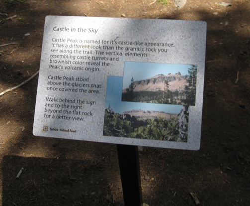
There are many pictures of our Castle Peak ride. The trails are very technical in spots and I wanted to show as much of the trails as possible. There are a few spots where extreme caution is warranted - those areas are highlighted in bold print.
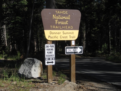
Entrance to staging/parking area - located at end of road on the right. Exit Hwy 80 at Boreal, turn right towards Boreal, then left onto frontage road.
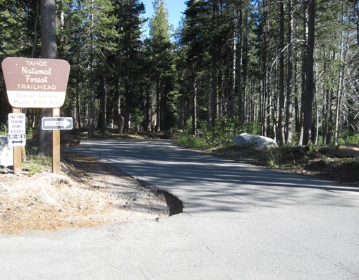
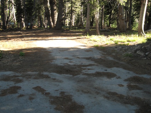
The road into the parking area.
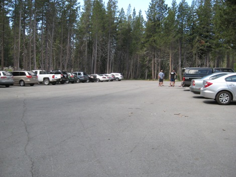
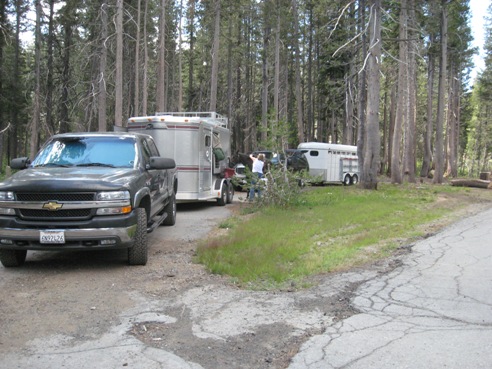
Parking at Castle Peak - 1st parking area you come to
Pull through area located at the end of the first parking area - room for 3 small to medium sized rigs.
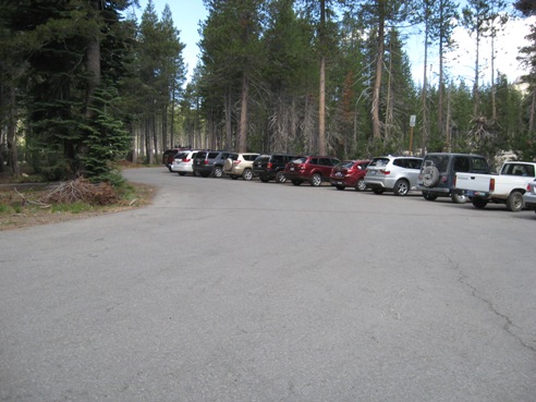
2nd area of parking
This parking pad is located as you swing around and head out of the parking area - located on the left.
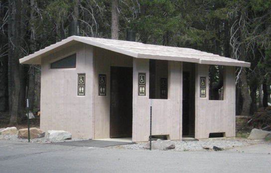
Vault toilets at Castle Peak parking/staging area
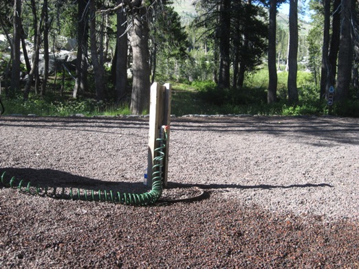
Water is available at the staging area. Footing is small rock. We brought our own hose.
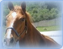
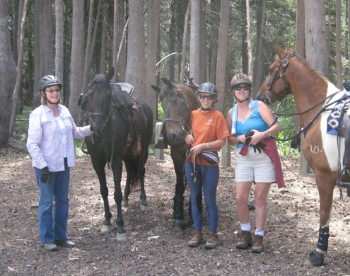
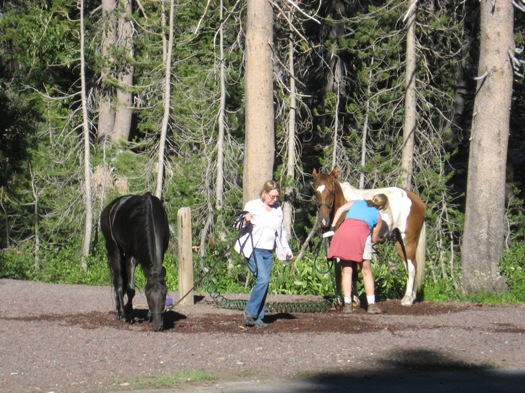
Before the ride - Denise, Heidi and Lilly
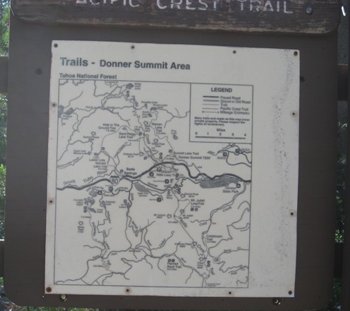
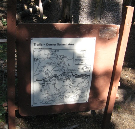
This map is located at the trail head.
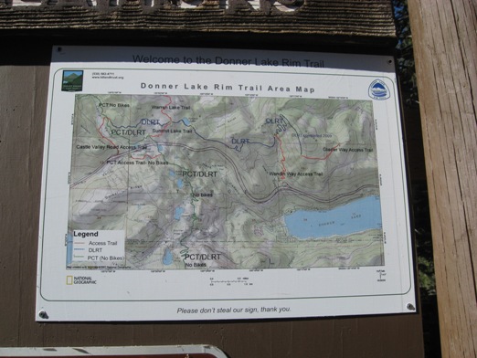
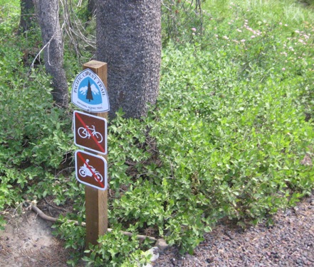
Another map located at the trail head. NO bikes allowed on the trails - a large "no bikes" sign is posted with this map.
Trail head - the start of the trail from the staging area.
Another view of the trail head.
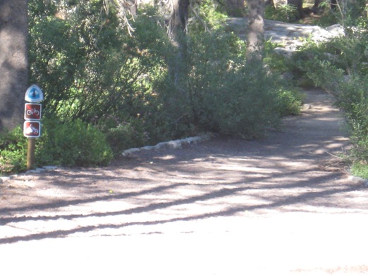
Trail signage at the trail head
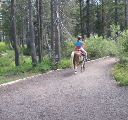
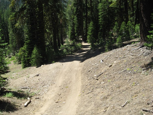
The start of the trail from the staging area.
Just a little further down the start of the trail from the staging area.
Plaque along the trail - located not too far from the staging area.
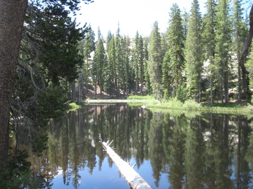
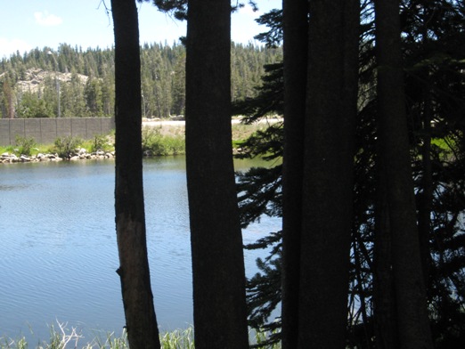
Small body of water as seen from the trail heading out of the staging area.
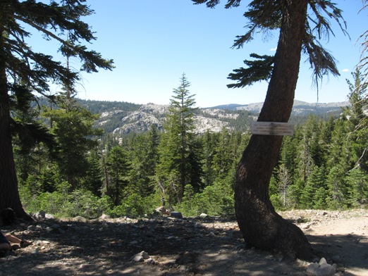
About 1/2 mile from the staging area the trail will split - go right and you head south on the PCT , go left and you will head north on the PCT and have to take the tunnels to go under Hwy 80. The sign is low to the ground.
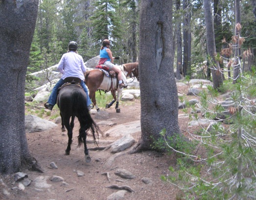
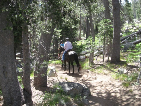
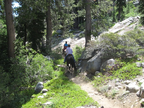
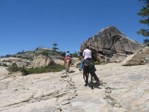
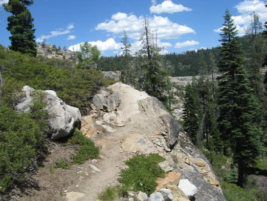
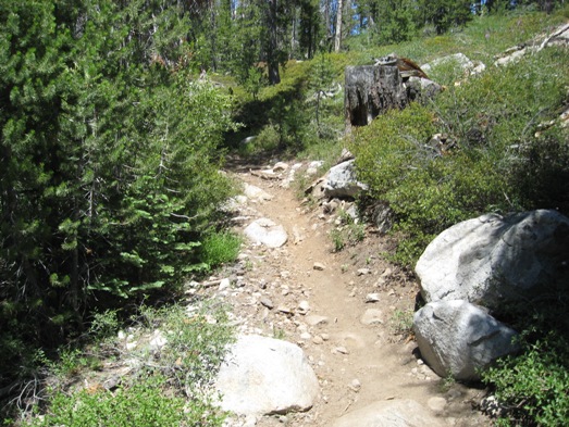
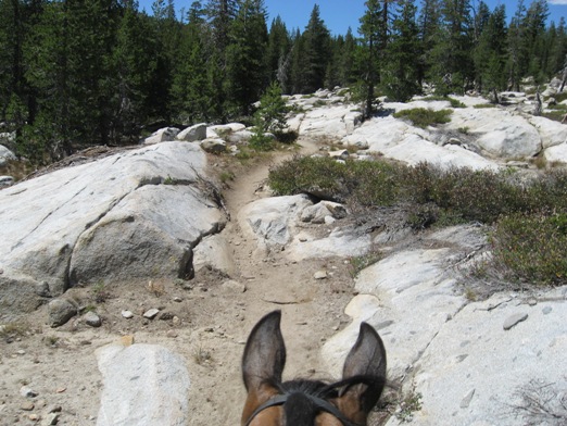
The following pictures are on the PCT heading south from the above sign Part of the trail heading south - a very technical section. Lots of rock and granite
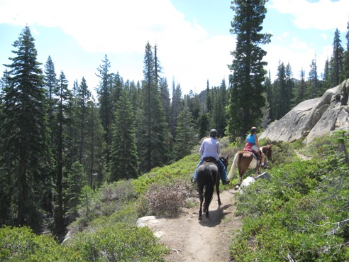
An easier part of the trail heading south on the PCT
Still heading south on an easier portion of the trail
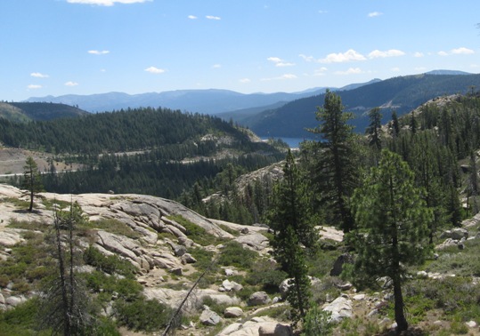
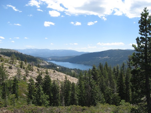
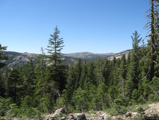
View from the PCT heading south - Donner Lake in the distance.
View of Donner Lake as seen from the PCT heading south from the staging area.
Still heading south - apart of the trail that is solid granite, slight up hill, well marked with rocks
About 2 miles out going south on the PCT from the staging area. Here is where the switch backs start heading down to Donner Rd. This is about where we turned around as we were told the trail is not great for horses.
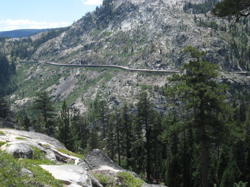
The covered railroad as seen from the PCT going south from the staging area.
PCT on the south side but now we are heading north.
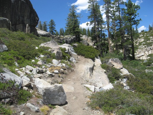
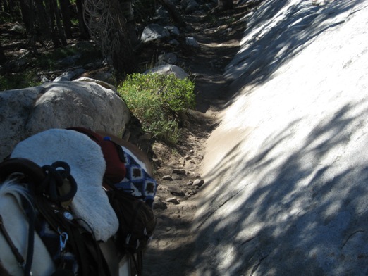
PCT still on the south side but heading north towards Hwy 80 - a bad section of the trail - up and over the solid rock
Continuing on the PCT heading north but on the so side of Hwy 80 - technical part of the trail
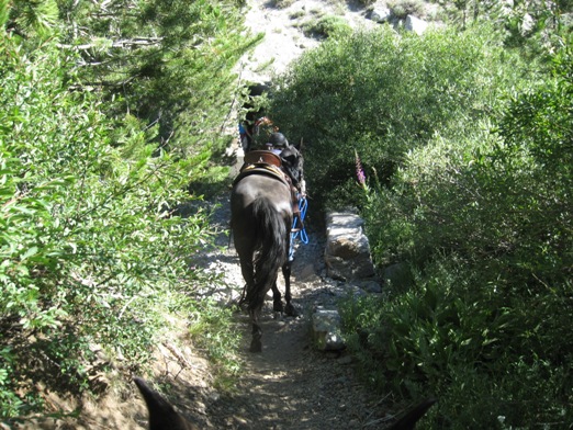
The following pictures are on the PCT heading north from the staging area after the Castle Peak/ Donner Lake sign pictured above ( before the PCT south pictures) Trail heading north after Castle Peak/Donner Lake sign - about 1/2 mile from the staging area, before you get to the tunnels.
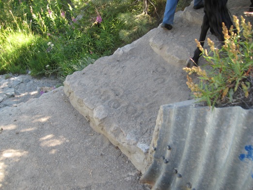
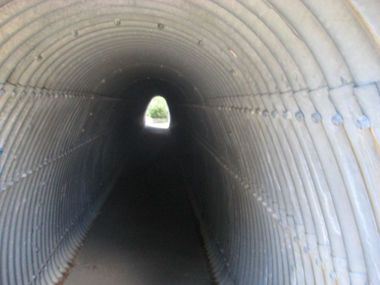
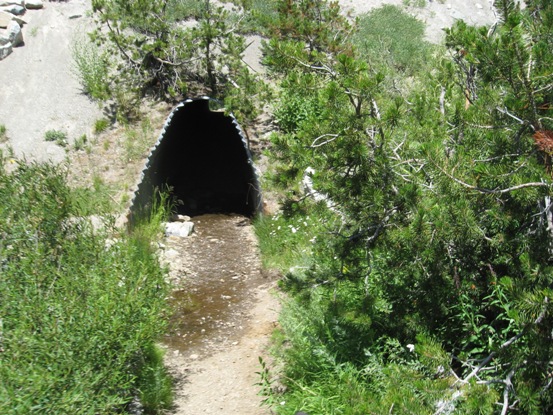
First tunnel entrance - you come down some wide low cement "stairs" (3 or 4 - see picture below) and make a 90 degree left turn into the tunnel (off to the right I believe is a drop off). The floor of the tunnel is cement and the walls are metal. It takes you under East bound lanes of Hwy 80. Traffic noise is not bad but it is loud with the horses walking on the cement - especially if wearing shoes. I did ride my horse through but it might be advisable to get off and walk your horse through. I did have some head room but not a lot.
These are the "stairs" as seen coming back through the final tunnel on our way home. You make a 90 degree turn to the rt when exiting.
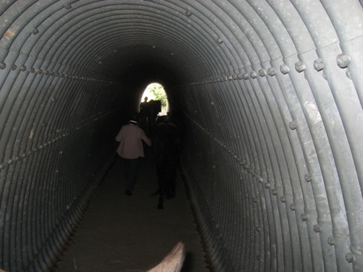
The tunnel as I entered it on my horse.
Denise entering the tunnel with her horse Smidge on the way home.
Inside the tunnel with horses.
The exit of the first tunnel - there is a bit a break before you get to the 2nd tunnel.
Area between tunnels.
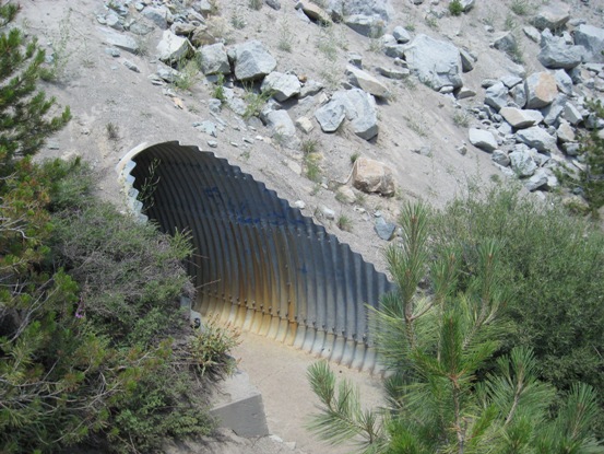
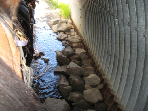
Entrance to the 2nd tunnel - at the time we went through (July 2012) there was some water and loose rocks at the beginning of this tunnel. This tunnel takes you under the west bound lanes of Hwy 80.
Here is the rock and water in the 2nd tunnel at the entrance going north towards Castle Pass. This picture was taken on our way home - picture taken while mounted on my horse.
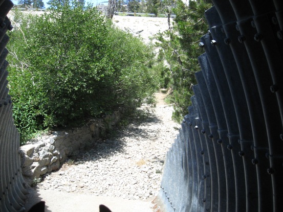
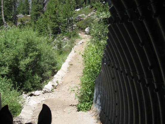
Exit of the 2nd tunnel and onto the trail heading towards Castle Pass.
This is the trail after coming out of the 2nd tunnel going towards Castle Pass.
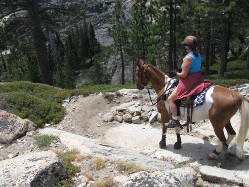
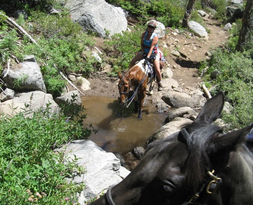
This water crossing is not too far after you come through the tunnels going towards Castle Pass. It is a good spot for the horses to drink. The trail coming out of the water is a little steep as you can see with the waiting horse in the foreground.
Trail after above water crossing.
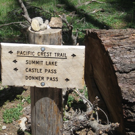
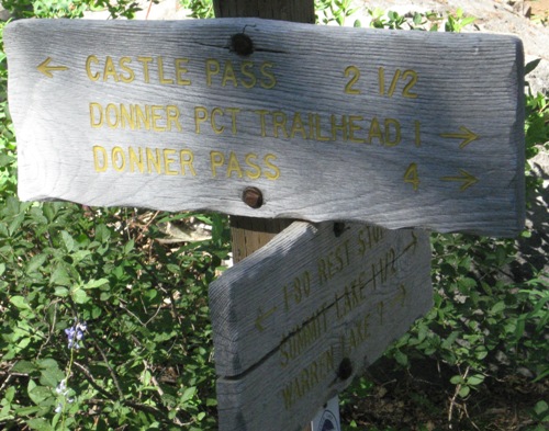
Signage to Castle Pass after passing through the tunnels.
A trail map/sign near the above trail sign - after tunnels.
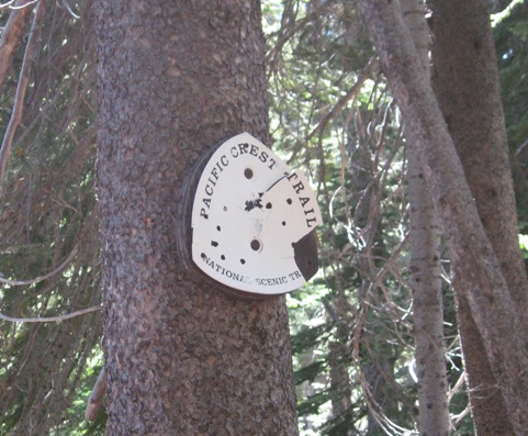
PTC signage - usually high up on a tree.
Body of water on the left a little ways down the trail after you come out of tunnels. Can see the rest stop on Hwy 80. When you see this water on your return this is where the trail cuts to the left and goes up and around to get back to the tunnels. If you go straight here on the way back I am not sure you will hit the tunnel trail. We tried and hit a large patch of Granite and decided best to go back the way we came instead of climbing over the large granite slab.
Trail after passing the body of water in above picture.
Very narrow trail near a granite slab, this photo was taken on our return. Not too far from body of water. Please use CAUTION - 2 out of the 3 horses slipped and fell at this spot.
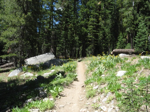
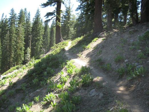
Trails heads through these blooming flowers shortly after passing the above body of water.
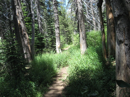
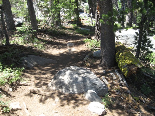
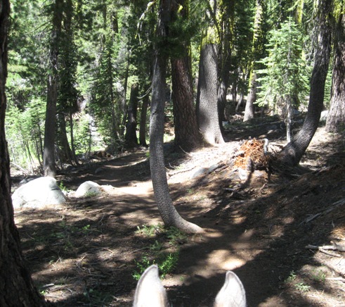
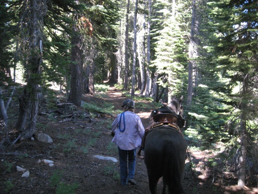
Trail then continues through this tree lined trail.
Trail once again continues through flowers.
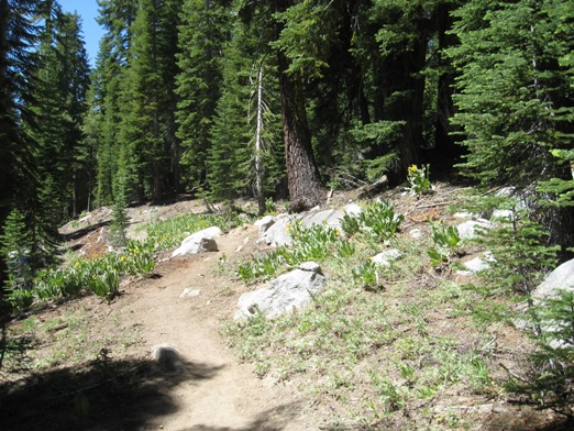
Trail becomes a bit wider here after passing through all the flowers.
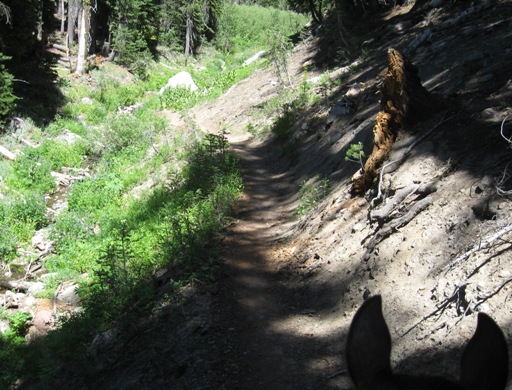
Trail becomes narrow and there is a creek off to the left when going towards the Castle Pass.
Trail heading up to Castle Pass. Trail is narrow with a steep drop off.
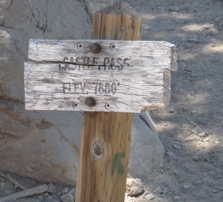
The sign at Castle Pass - elev 7880 ft
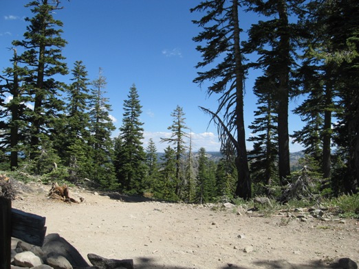
View from the pass looking towards the continuing trail.
View from the pass.
View from the pass - looking towards the trail we came from.
Trail on the way home after the spot where the horses fell, before that body of water near Hwy 80.
Denise and Lilly washing the horses after the long ride. We brought our own hose.